
Valley Winds Map of the Central & Eastern Alps
$ 26.76

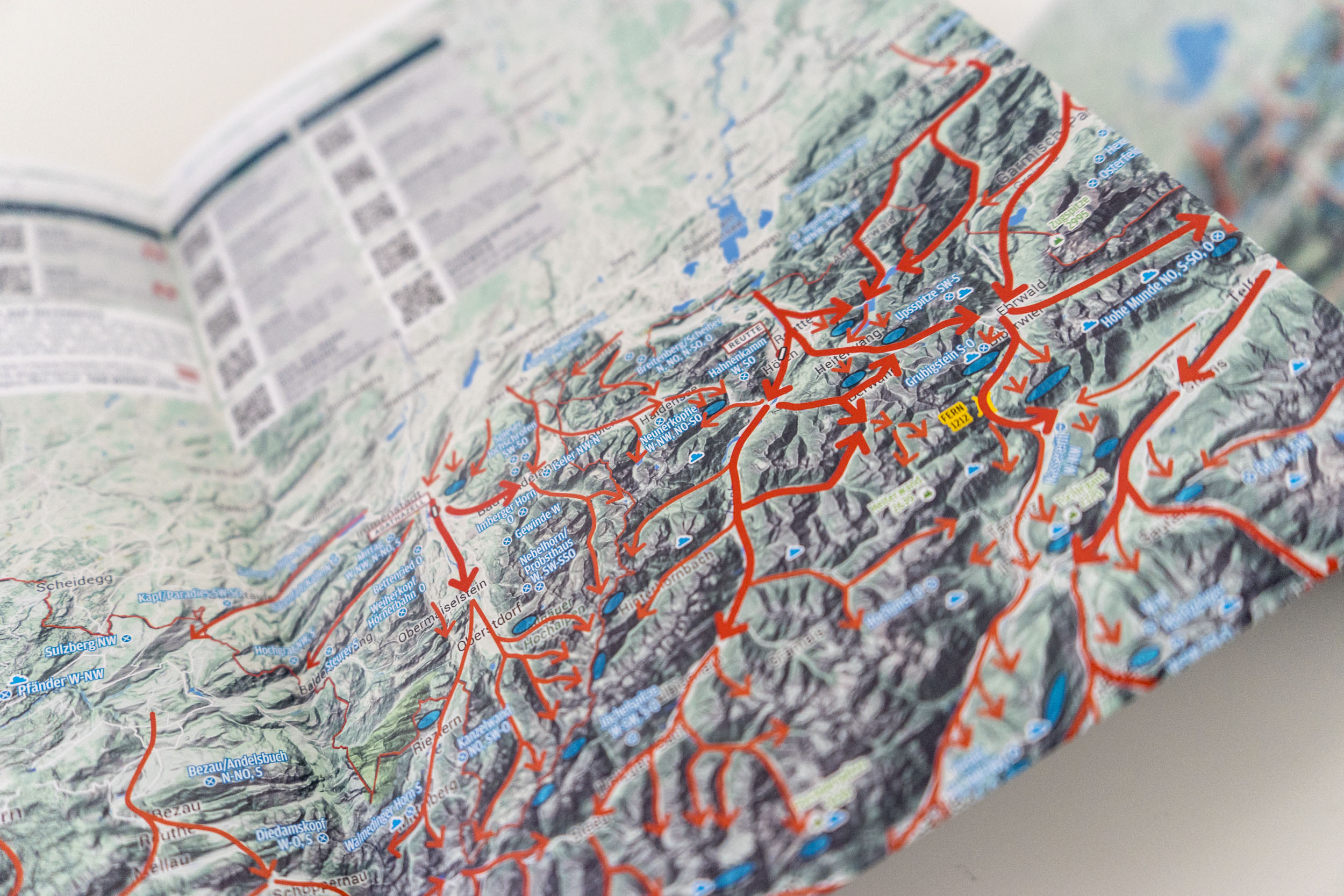
The map displays valley wind systems and their directions of flow on normal/light-wind, thermal days in the alpine regions of Austria, Italy (Südtirol – Gemona), Switzerland as well as Bavaria. This map is intended to assist with getting a bigger picture, seeing connections, recognizing sensitive areas and therefore to be able to understand what is happening in the atmosphere and how to read the terrain. Steep slopes, areas of convergence and lee areas are immediately identifiable. Contents: normal valley wind up to 20 km/h with direction (thin arrow) strong valley wind over 20 km/h with direction (thick arrow) Lee side areas: Strong valley wind systems (e.g. Bavarian wind) often flow over slopes or ridges and create unpleasant lee side areas. We have marked many, but not all, sensitive areas. Known house thermals: the marked thermal sources are known and popular hotspots, which depending on the time of day, will produce more or less lift. Includes the majority of hang gliding and paragliding take-off sites plus take-off directions in the region of eastern Alps Important mountain passes incl. altitude Airfields QR codes linking to important info pages Explanations and information on special weather phenomena (German language) Detailed map of the Dolomite region with take-off and landing sites Shipped in clear plastic sleeve and cardboard envelope or rolled in a solid mailing tube Note: The writings are in German and in English